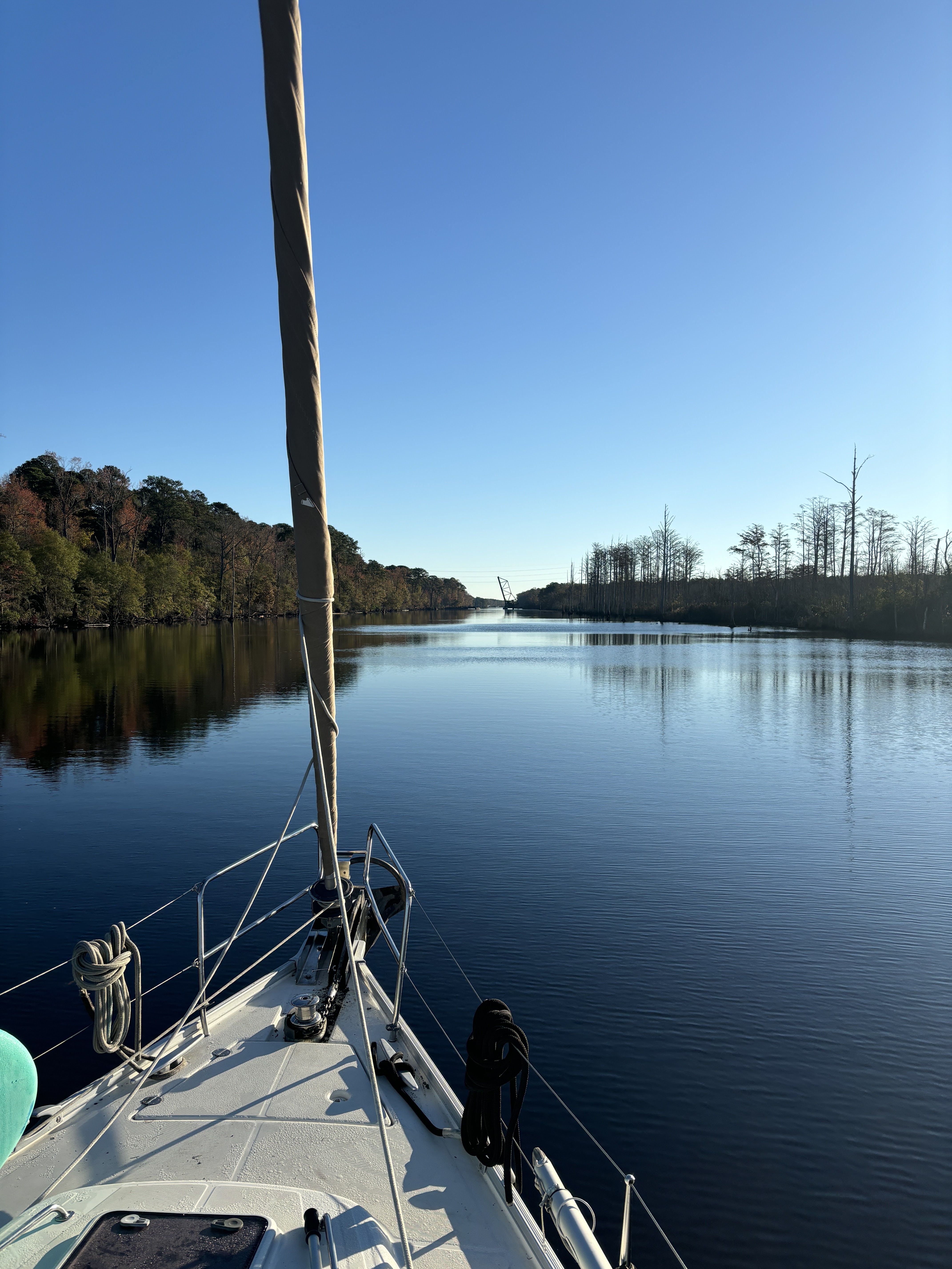
Belhaven to Alligator River – 47 nautical miles sailed, 4 kilometres walked, 1 mile in dinghy
We’d decided Belhaven deserved another half day as we had yet to explore the eastern side of the town. After trying to find a decent radio station (non-country and non-Jesus) and failing miserably, I put on a Radiohead album as I prepared a breakfast scramble of chopped up sausage, peppers, mushrooms, cheese, and a handful of eggs. Sadly, we had no fresh herbs and I foolishly forgot the onions, otherwise it would have been super fantastic instead of just fantastic.

Though cool, it was a beautiful, clear day and Belhaven was silent, in the way that small towns are on Sunday mornings (before church). We walked eastwards from downtown and discovered where the rich kids live as we passed grand, waterfront mansions with driveways and carports loaded with Porsches, Land Rovers, and other shiny vehicles. We were again struck by how different these small US towns are from the Canadian equivalents. For example, in this town of 1406 people, 48% of the population is black and 44% is white, with the remaining few a mix of the two. There is a distinct rich area of estate homes and luxury vehicles and a distinct poor area of falling apart trailers with rusted out vehicles on blocks. It’s similar to what we’ve seen in other US towns like this. Everything seems to be a dichotomy. You are either black or white. You are rich or poor. You are fanatically religious or an atheist. You are good or evil. You are Republican or Democrat (this drives the good or evil, depending on which side you’re on). You are with us or against us. This dichotomous existence pervades everything in the US, which is perhaps why the politics work they way they do in this country. The one thing everybody agrees on, however, is hanging a huge American flag from your second story porch or the electrical pedestal of your trailer. Whichever of these dueling categories you fit into, you are first and foremost, a proud American.

Think about Canadian towns with a similar population. In Ontario, that would be places like Burford, Fort Erie, Port Rowan, Red Lake. In Saskatchewan, think about Lanigan, Wilkie, Langham, Davidson. In BC it would be Fairwinds, Ashcroft, Salmo. In Nova Scotia it would be Chester, Inverness, or Centreville. These towns, to me, seem far more heterogeneous in one way, with a higher percentage of European whites, but also more diverse as the remaining population is a mixture of Asians, indigenous, black, and many others, the ratios really depending on where you are in the country. You will see as many Italian, English, Portuguese, German, Ukrainian, Vietnamese, and Filipino flags flying as Canadian ones, and it’s okay to fly them both if you like. The social classes do not seem as rigid either. Most people are middle class with a minority of rich folks and a minority of poor folks. You also rarely see grinding poverty in these towns, unless you travel to the indigenous communities up north, where it is widespread.
I am not saying either of these situations is better than the other. They are just different. The statistics say the overall wealth level in the US is higher than in Canada, but it’s clear that this wealth is distributed very differently in these two countries.
Before returning to the boat, we stopped to talk to the Quebecers we’d met the other day in Oriental who were now tied up at the Belhaven town docks. Jonathan and Isabelle are a lovely couple and traveling on their 31-foot sailboat with no less than four young kids (that’s what we counted, there may have been another one or two stuffed into the cockpit lockers). We have an idea of how heroic this is as we travelled with our two in a similar sized boat, but we did not take them all the way to the Bahamas and back. Crazy! As we are traveling in the same direction as them we expect to meet up again soon, hopefully for lengthy sundowners.

We had a pleasant ride and made it further than we were anticipating, all the way across the arrow-straight and 20-mile-long Alligator-Pungo Canal, then up the length of the huge Alligator River and dropped the hook in a very exposed anchorage just shy of the Albemarle Sound, which we’d have to cross tomorrow morning.

Along the way I pulled out my Stretching Journal which I’d picked up back in Morehead City and Ana and I did a 30-minute aerobic and stretching workout on the boat, squeezing ourselves into barely large enough spaces in the cockpit to maneuver our body parts where they were supposed to go, according to the diagrams. I hope no other boaters saw us, as portions of it may have resembled moments of passion, with various limbs pointing in all directions and moaning sounds (from pain).